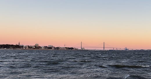
Today, I realized anyone can view my posts and notes on the same page by visiting my “Bill Blevins” profile. As I’ve mentioned in previous ‘long form’ posts, write short Notes daily, often multiple times a day. Bookmark that link if you want to check in and see Avemar’s location, see photos from where we’ve been, or read longer form posts when I have time to write.
Today, I uploaded a short video from the Beaufort to Charleston, SC leg of the journey.
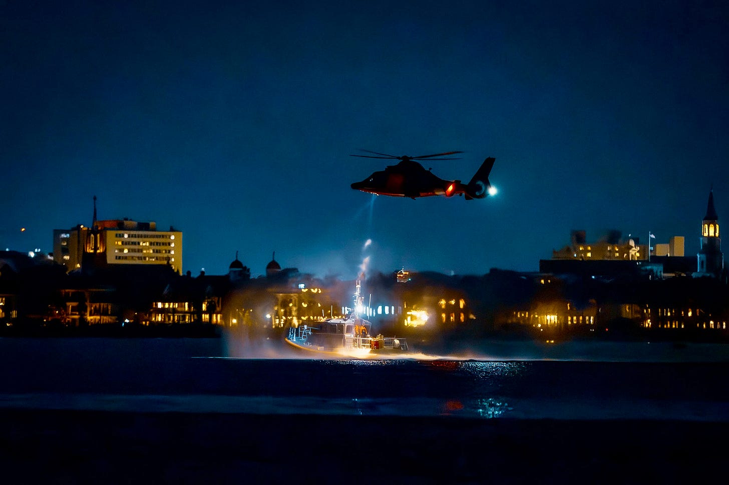
I posted a really neat photo of a USCG helicopter practicing lowering a basket to a moving boat in Charleston harbor last night too.
Shortly I’m going to post a note of our current anchorage.
I’m not sure exactly where we are. Well, I know the latitude and longitude (32º 39.648’ N, 80º 16.527’ W), and Avemar is half-way between the Toogoodoo Oyster Co. and the Bears Bluff National Fish Hatchery.
We’re in Meggett, SC about 30 miles south of Charleston, SC.
Helpful.
It was a very early morning here aboard. Because it was an early morning the bridge next to where we anchored was 5 minutes away and didn’t open until 0930 today, it was a short trip!
Here is the current situation:
Below, I’ve pasted today’s logbook entry from my Sea People profile. You can visit that link to see the time and mileage, more photos and the trip log map.
Icy Double You - Day 17 Southbound
Today was a very long short day.
We covered about 25 miles, and I dropped the hook at 1430. I woke April at 0415 this morning to climb out of the V-berth. The wind didn’t feel right, and the waves didn’t sound or feel right.
Both @DamageControlSailing and Avemar had chosen a spot to anchor in Charleston on Wednesday night to avoid as much of the SW wind on Thursday as possible. I knew that after that storm on Thursday passed us, the shift would be from the North, but I didn’t know when that would happen. Well, it happened around 0400 this morning.
The depth sounder showed that Avemar was in 11 feet and the anchor was in 22 feet of water, but the chart plotter showed the stern sitting at 5.
I started the engine, made coffee, dressed, drank coffee, went up, and pulled the anchor after putting on even more clothes and two pairs of gloves!
The wind chill was 31º F.
Avemar motored up the Ashley River and anchored at the entrance to the ICW to wait for the 0930 opening of the Wappoo Creek bridge.
We were through the bridge by 0935 and breezing with a nice current push at 8.5 knots. That ended about an hour later when we crossed an inlet timed with a tide change where we slowed below 4 knots due to a current of 1.75 knots against us.
April worked below all morning and had a previously scheduled video conference call to be recorded. This Perkins 4.108 is LOUD. A recorded video conference call would not be good.
I searched the charts and found a cool finger off the Stono River near MM 495 in the middle of a marsh.
We will hang out here for the night, recoup from the frigid weather, wake up well before dawn again, and take on Day 18 tomorrow morning!


I think Capt Mitch meant to say “professional,” not non-professional. 😂🤣😂
Look Captain, when transiting the ICW and you wish to relay a position to non professional friends and readers, , do it only by mile marker. You should have a hard copy cruising guide or paper chart that shows mile makers. Mile markers are also sign posted along the ICWW. In an emergency you should include GPS position.