Low Bridge, Ev’rybody Down
Now we know the height of Avemar's mast!
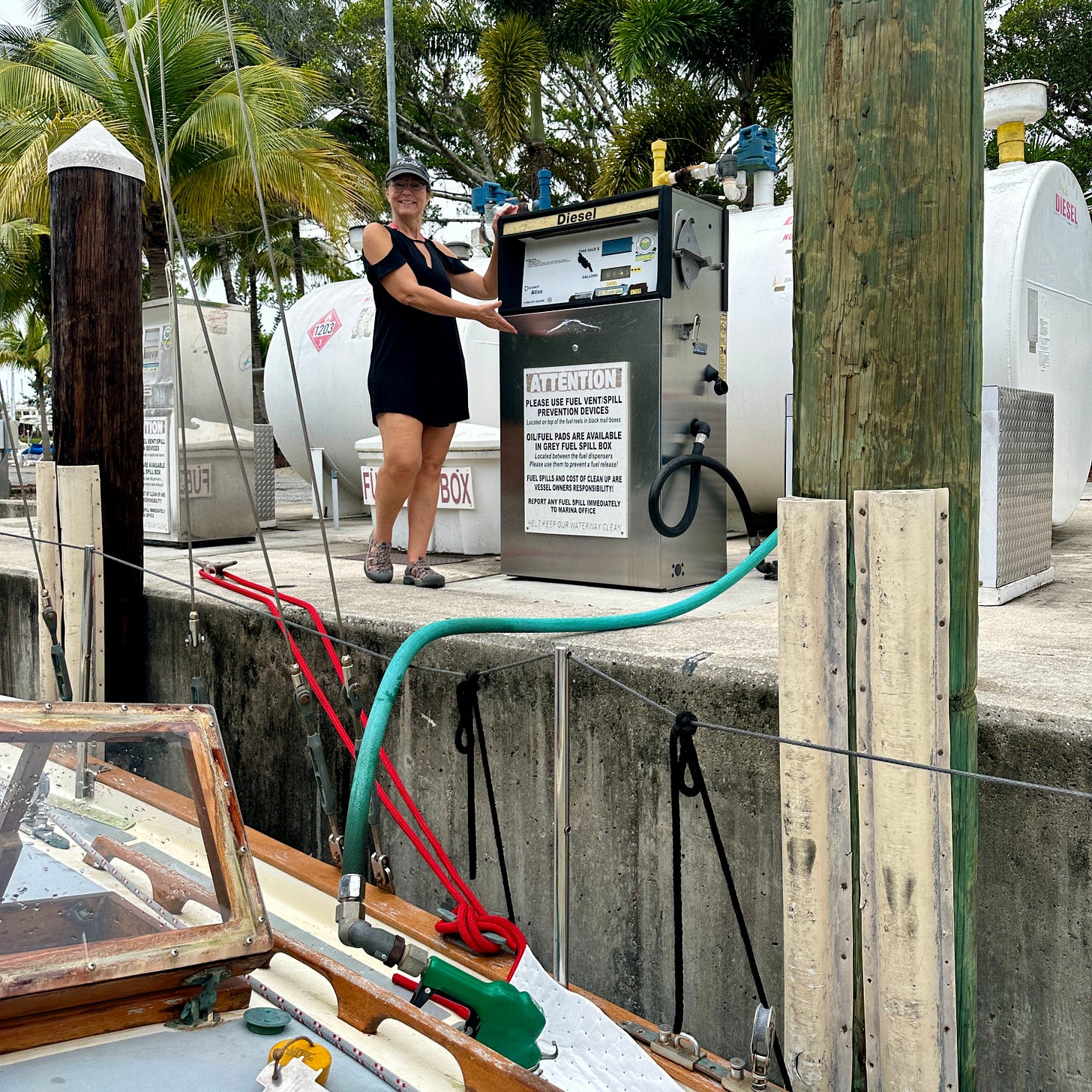
April ran a diesel pump for the first time in October as we prepared Avemar for a short five-and-one-half-hour motor down the canal from Indiantown to Stuart, FL.
I should have said, ‘April operated the fuel pump,’ because that pump did the opposite of running.
After only 24 gallons and what seemed like an hour, we were 76 gallons short of what we had planned. Also, diesel was $5.75 per gallon at the marina, more than a dollar higher than any prices we saw at other marinas that day.
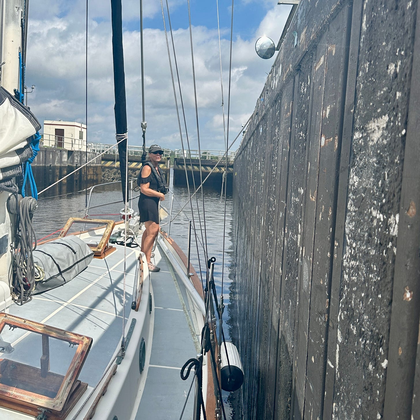
April handled the foredeck lines as Avemar was lowered to sea level in the St. Lucie Canal. This was her first time being on a boat in a lock.
There may or may not be an Avemar sticker on the wall.
I’ve been through that lock twice now, once heading in each direction. The lock operators I met during both passages were very friendly and professional.
I have heard almost unanimously from other boaters that these lock operators are always rude, “mean,” or “not nice.” That was not my experience.
On my first passage going up, no other traffic was coming in or heading out. I talked to the lock keeper for at least 45 minutes about sailing his boat, Avemar, blue water sailboats, and double-enders. He was a cool guy.
On this trip, dropping about 14 feet to sea level, the lock tender was a little preoccupied, making me think that fellow boaters had been right.
But with a bit of patience and then pressing him gently, he turned and said, “I’m looking to see if the solar eclipse has started yet.”
He, too, ended up being very friendly, and April and I were so happy he had been preoccupied earlier because later that day, we saw a partial solar eclipse aboard Avemar, another first.
As we motored out of the lock and a short distance to the next bridge, I saw that the tide board read 52.5 feet.
I quickly turned to port and headed back towards the lock.
“Would Avemar’s mast hit at 52.5 feet?”
I had been concerned about timing the trip so I would pass under one bridge marked on the chart at 53 feet. I had passed under it in the spring with no problem at low tide.
This was a different bridge, and the tide was ebbing, but I had not accounted for what locals down here call the “King Tides,” where the water is unusually higher, even at low tide.
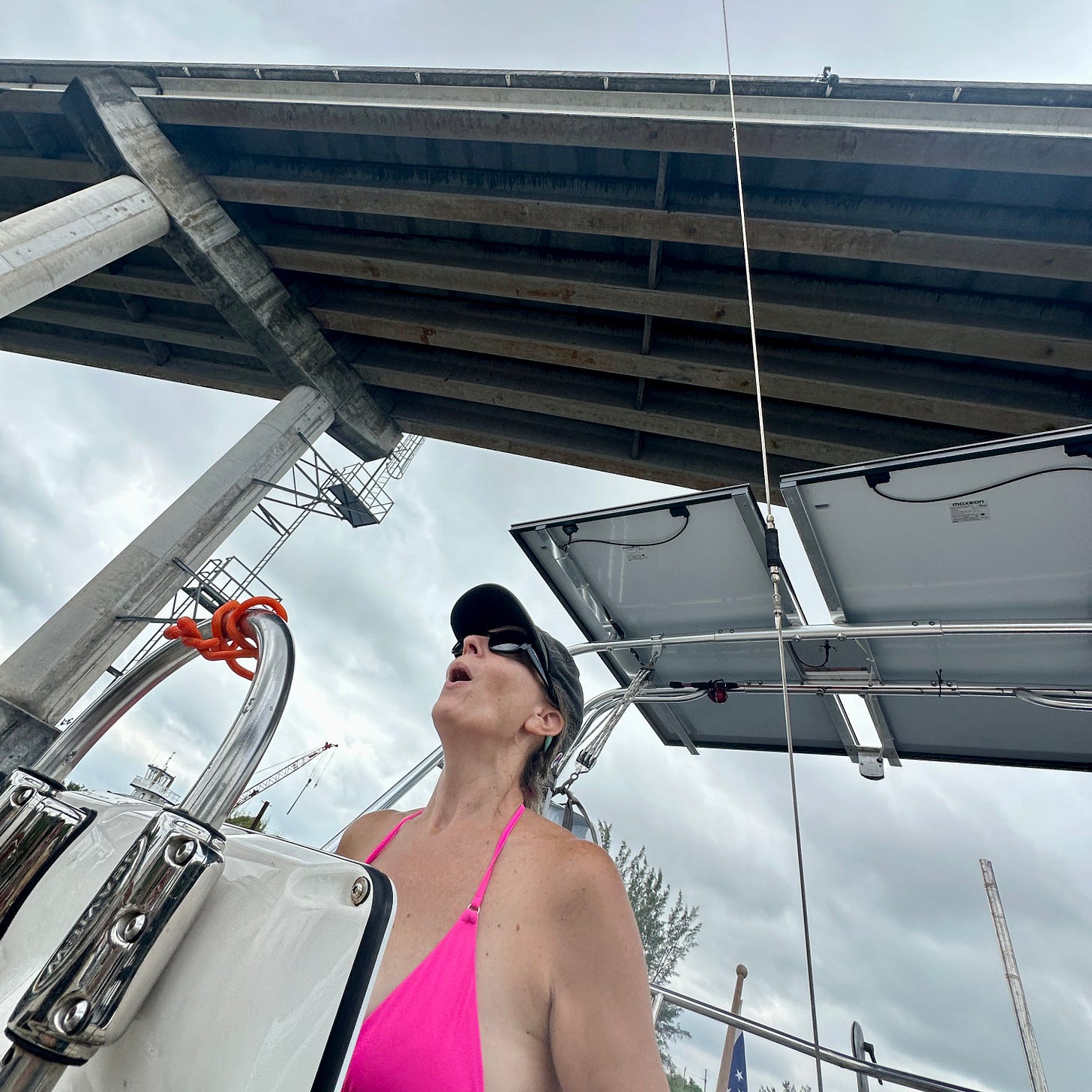
I decided I could make it under the bridge. I drifted as slowly as possible towards it and even slowed further by reversing the engine a few times just in case the mast hit I could attempt to back away.
As we passed underneath, the VHF antenna clicked along the rafters beneath the above roadway. My measurement of a 51-foot mast height had been correct.
April went below immediately to make a note in the front of the log book for future reference: “Mast clears at 53 feet.”
As we passed under the bridge further East on the canal, where I knew it would be a tight fit, that tide board also read 52.5 feet!
I couldn’t look up this time. I didn’t slow down either.
Avemar arrived in Manatee Pocket late in the afternoon.
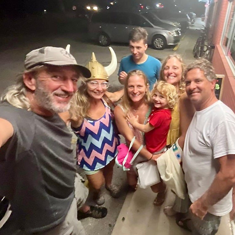
The unexpected welcoming party at the dock was a mix of boating friends and family who helped with dock lines while marveling at my skills in backing Avemar’s full keel’s hull into a slip.
It only took several attempts, and no neighboring boats or pilings were touched.
The plan is to stay in Manatee Pocket through mid-November and watch for any late-season hurricanes that may pop up.
We’ll head offshore to Saint Augustine for Thanksgiving, and then sail south to the Keys for Christmas.


Now that is a great holiday plan!
PHEW! Glad you made it through intact! Do you still have your cat on board? I can't remember her name...starts with a 'P'(?)